Blended aviation surveillance solution to critical national pipeline
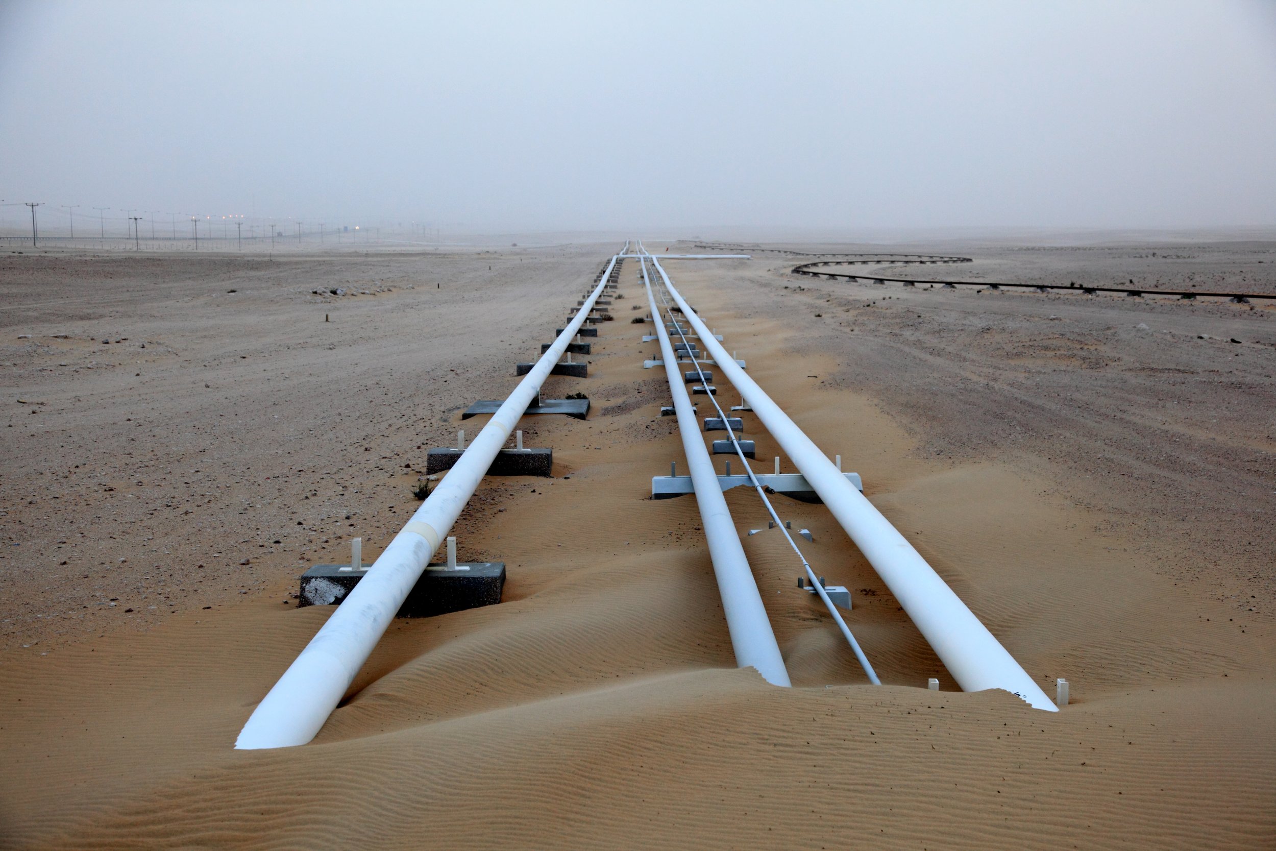
The Almara team developed a state-of-the-art aviation surveillance capability to enhance the clients current digital Geographic Information Systems (GIS), to create, analyse, and display spatial data, layering diverse information (like roads, geology, social media) onto base maps for deeper insights into security issues such as ‘hot tapping’ and environmental issues such as excessive sand movements that were confusing regular surveillance processes.
The Almara team provided an end-to-end aviation capability comprising low-signature, cost-effective crewed aircraft, coupled with satellite and platform-to-platform data offload capability.
The resultant solution provided the client with an increase in situational awareness and a reduction in survey costs, plus reduced losses by criminal activity.